Absolutely Amazing!
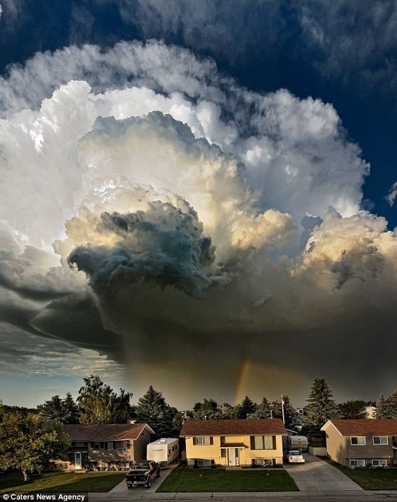 Line of building towers flanking from a thunderstorm.
 Sun setting behind cumulus clouds.
 Cloud to cloud to ground lightning.
 Mammatus "clouds boiling upside down", on top of a flanking down draft.
Mammatus, also known as mammatocumulus (meaning "mammary cloud"),
is a meteorological term applied to a cellular pattern of pouches hanging underneath the base of a cloud.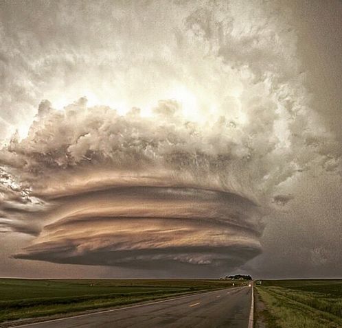 Massive single cell severe tornadic thunderstorm.
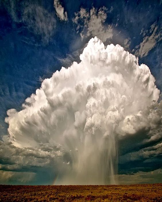 Downdraft of precipitation from a young cumulonimbus cloud.
The initial downrush happening as the rest of cell is still forming and building. Leading edge of a flanking downdraft of a thunderstorm.
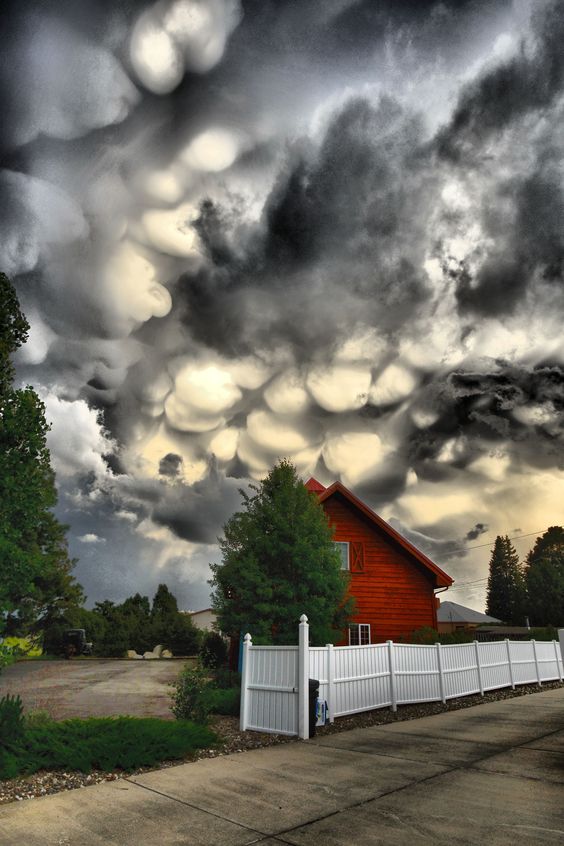 Another great mammatus extremely unstable air.
 Sunset on dissipating thunderstorms.
Could have two cells rotating in opposite directions, rare,
but meteorologically possible, like two egg beaters. Sunset dissipating thunderstorm.
 Volcanic eruption creating a circular outflow boundary.
 Somewhat disorganized or dissipating thunderstorm.
Most of it already downward collapsed with the rain shield being dominant. Single cell thunderstorm with cloud to ground and cloud to cloud lightning,
some being imbedded inside the cells.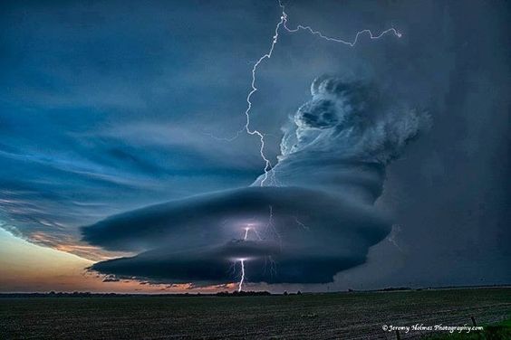 Tornadic vortex w/lightning, multi-layer outflow boundaries.
 Row of thunderstorms, and more beautiful cloud to cloud and cloud to ground lightning.
 Cloud to ground lightning in the rain shield in dissipating thunderstorms.
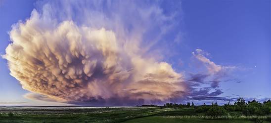 Single cell "super cell thunderstorm with mammatus.
 More great cloud to cloud and cloud to ground lightning.
 Tower cumulus building into a thunderstorm.
 A tornado funnel near the ground and probably already on the ground,
but not enough moisture or debris/dirt to see it on the ground.
Surface dirt starting the kick up. Circular outflow boundaries with storm cell rotation.
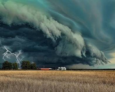 Lowering wall cloud from mature thunderstorm.
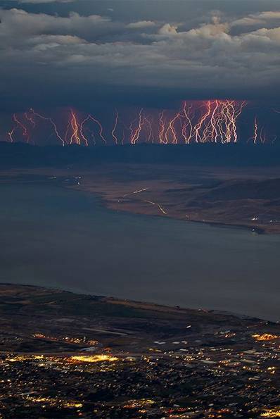 Lots of cloud to ground lightning (assuming the dark is mountains)
 A large tornado on the ground.
Click here to see other photos

